Maps and graphics can be compiled from existing source data.
We can scan old maps and plans to create a digital raster image of the map. This raster image can then be processed with our software to create a vector file such as dxf, dwg, shape and map info files which are ideal for editing data and adding to your data base. Our graphic’s processing software can pick out line and point features from the scanned image to convert in to the vector file. Our trained staff will also ensure that all the map detail from the raster image is correctly and completely converted to the final vector file format by manual input when required.
The scanned image can be georeferenced so that it fits spatially correct with the other source data from the project. The coordinate system will usually be the Geodetic Datum of Australia (GDA94). This will entail matching points ( 3 or more, more is best) on the map to known coordinates. Our team is also available to go to site and identify points from the image so that it can be correctly rectified for orientation and scale.
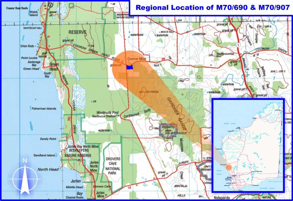
An example of a location map to show a company’s mining tenements is below.
Please contact our office for more information on this service and for price on this service.


